Elon Musk technology to be tested by drone ace SkyTech at TTP Cambridge Half Marathon
The Northstowe-based company has been asked to provide the race organisers with a unique perspective of the course and its surroundings for security and crowd monitoring purposes.
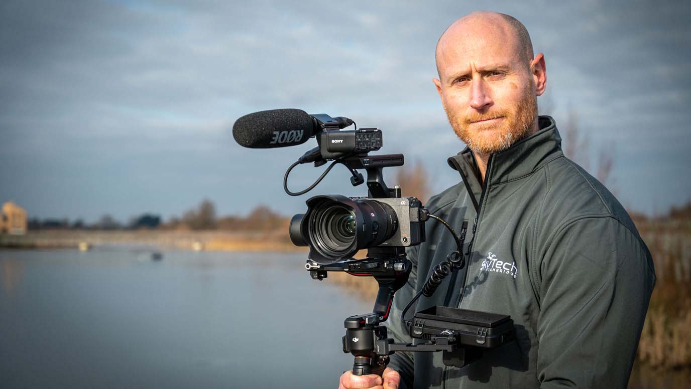
Live streaming at large-scale events can present significant technical challenges, particularly in areas where network connectivity is limited. SkyTech founder Marc Mann says the use of 4G/5G for live streaming was not possible last year due to the high contention of the network so the company used a high-bandwidth dedicated local WiFi connection which guaranteed a high-quality live stream was transmitted.
With much of the work that SkyTech Cambridge carries out being in remote areas with patchy network coverage, it is expected that this exciting new technology may be the future of connectivity requirements for drone operations.
Mann told Business Weekly: “We’ve traditionally either used a WiFi connection from the site or streamed over a cellular network (4G/5G). Starlink recently introduced its satellite internet system which works by connecting to a small portable satellite dish which gives us a really stable and fast internet connection anywhere in the world.
“Our devices connect to this dish either by WiFi or by a cable. This is what we’ll be testing in anger at the Cambridge Half Marathon.”
Attracting over 11,000 runners from across the UK and beyond, the TTP Cambridge Half Marathon has become a must-do event for both serious athletes and casual runners alike.
It offers participants a challenging yet scenic 13.1 mile course that winds its way through some of the city's most iconic landmarks and picturesque neighbourhoods with a festive atmosphere, enthusiastic supporters and a reputation for being one of the most well-organised races in the country.
Mann, added: “It is fantastic to be invited back by organisers of the Cambridge Half Marathon, OSB Events and Two26 Photography.
“We are looking forward to providing them with high quality aerial media as well as assisting them to deliver a safe and enjoyable event by providing real-time visual oversight for the duration of the race.”
With state-of-the-art equipment and an experienced team of pilots and camera operators, SkyTech Cambridge has revolutionised the way in which race organisers can monitor and manage large-scale events.
SkyTech offers a variety of services including a lot of live streaming using its drones for construction companies and their various projects, as well as for property owners around the world.
Mann adds: “In the construction sector we provide companies a way to carry out live inspections of their sites so that stakeholders are able to gain valuable insight into their progression.
“The video from the drone is streamed live over the internet so that anyone with a connection can view it in real time. It also allows viewers to give us live instructions if they want to focus on certain areas.
“We also carry out a similar service for property developers – including many Middle Eastern customers – who want to show off their property live to investors without them having to travel.
“In both scenarios we save our customers time and money and also save the planet valuable CO2 emissions by cutting down on unnecessary travel.
“A lot of the work we do outside of video streaming also requires a stable internet connection but often in very remote areas. We carry out land surveys using drones and this requires an internet connection due to something called NTRIP that the drones use to ensure very precise accuracy. We use this positional data and the photos we take to create extremely accurate 2D maps and 3D digital twin models.”
SkyTech is due to map the Botanic Gardens in Cambridge in the middle of this month. The client needs an accurate map so that they can meticulously plan their future planting schemes and building works.
“The maps we generate, from flying over 50m in the sky, are often as accurate as 1-2cm over the whole map,” says Mann. SkyTech does a lot of work for a number of Cambridge colleges, including Trinity and Corpus Christi, providing roof surveys taken across the city.
Further afield, SkyTech worked for Saab, which is a military contractor as well as an automotive specialist, in Germany last year by creating a complete digital 3D twin of its training facility. Saab uses this data to plan training missions in 3D and for feeding the maps produced to infantry on the ground.